 |
| Burrow Mump |
It goes without saying that many of the points on these routes - known as ley lines - are stone circle sites or other ancient monuments. Naturally Avebury is one such point, so it was no surprise to find a map there. But what came as a surprise was the fact that several places we had visited that week were marked as significant.
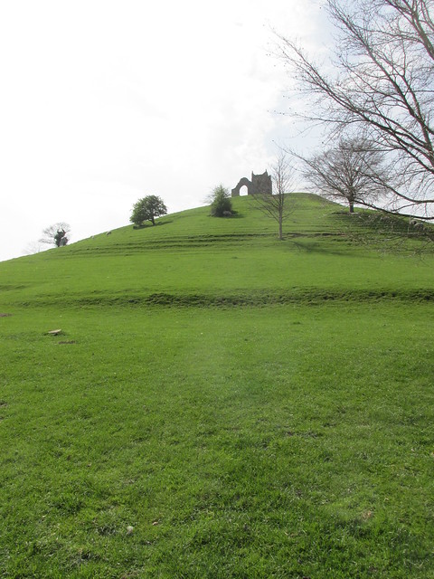
The so-called St Michael's ley line runs from Land's End in Cornwall to a point on the Norfolk coast. It passes through Avebury, as well as Taunton and Glastonbury. It also passes through a place called Burrow Mump, close to the site of the Battle of Sedgmoor. We found the Mump during our travels. You can't really miss it. It's a huge spot on an otherwise flat landscape. And there are the remains of a church on top of it.
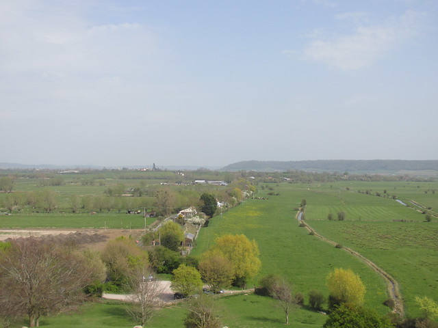
Like many other churches along the line, it was dedicated to St Michael. We had no idea when we discovered the Mump that it had any supposed mystical status. I just liked the idea that there was a huge bump in the middle of nowhere with a wreck on top - so we climbed up to take a look at the tumbledown church, and the view from the top. Both were impressive.
 |
| The view from the top |
The hill and ruin have been owned by the National Trust since 1946, when they were donated, with the proviso that the building should serve as a memorial to the 11,281 Somerset men and women who died in two world wars. It is now a scheduled ancient monument.
So is there any truth in the idea of ley lines? It's theoretically possible to draw a line across any part of the UK and link up villages that are situated more-or-less on top of it. Particularly if you take liberties with the map - like this one.
| Photo from Discussion World Forum |

Very interesting. Enjoyed looking at that map.
ReplyDeleteI've been fascinated by the idea of ley lines for a while and your post has inspired me to buy Alfred Watkins' book on the subject.I confess that I have no problem believing that they exist:)
ReplyDelete